Forum/Swap and Shop/GARMIN GPSmap 547xs

GARMIN GPSmap 547xs

441 viewsยท2 repliesยทby MakoMatt
MakoMatt
MakoMattMODDec 21#1
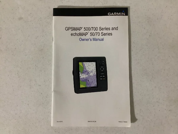
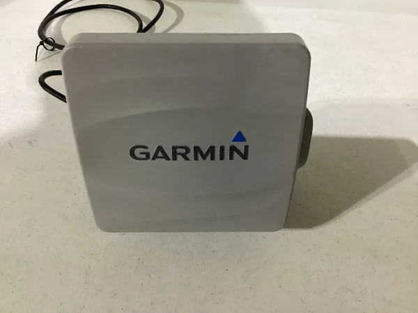
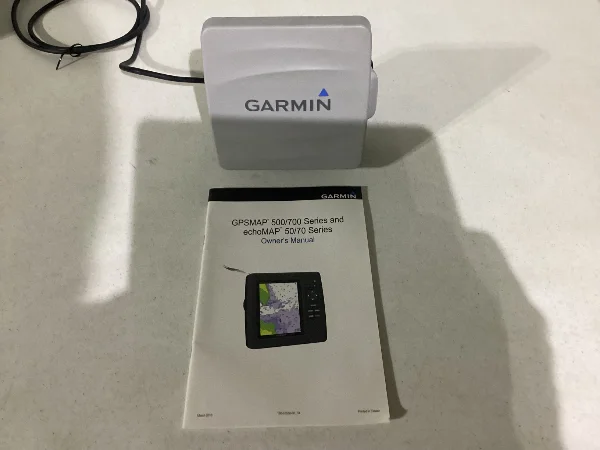
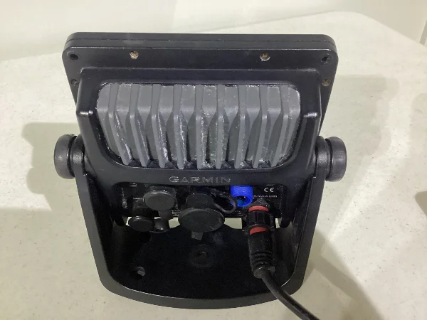
Nice working unit, in good condition. Only reason for selling is I just upgraded my electronics.

A short synopsis of the capabilities of this unit.

Garmin GPSmap 547xs (model number M3APGT01) is a chartplotter/fishfinder combo unit that provides both GPS navigationand depth chart capabilities.
  • GPS Functionality: The unit features a high-sensitivity 10 Hz GPS/GLONASS receiver that updates your position and heading ten times per second, providing fluid and accurate on-screen navigation.
  • Depth Chart/Sonar Functionality:The "xs" in the model name indicates it is a combination unit with built-in sonar capabilities (HD-ID and CHIRP).
    • It comes preloaded with detailed U.S. coastal (BlueChart g2) and inland lake maps (LakeVu HD), which include shaded depth contours, spot soundings, and other navigation data.
    • When connected to a compatible transducer (which often came included in some packages, but was optional in others), it can actively measure real-time depth and display sonar returns. The maximum depth capability is up to 2,000 feet in salt water, depending on the transducer and water conditions.
The device has dual microSD card slots for adding more detailed optional cartography, such as Garmin Navionics+ or BlueChart g2 Vision cards, which offer enhanced features like 3D views and high-resolution relief shading.

Wiring had to be cut when removing the unit, as the transducer was also destroyed when removing that. Unit will need both.

$250 OBO
IMG_0879.webpIMG_0878.webpIMG_0876.webpIMG_0877.webpIMG_0875.webp
CaptainOriginal Crew2,076 postsSince 2018
MOJOE
MOJOEMODDec 21#2
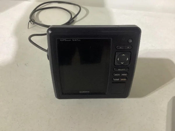
Nice working unit, in good condition. Only reason for selling is I just upgraded my electronics.

A short synopsis of the capabilities of this unit.

Garmin GPSmap 547xs (model number M3APGT01) is a chartplotter/fishfinder combo unit that provides both GPS navigationand depth chart capabilities.
  • GPS Functionality: The unit features a high-sensitivity 10 Hz GPS/GLONASS receiver that updates your position and heading ten times per second, providing fluid and accurate on-screen navigation.
  • Depth Chart/Sonar Functionality:The "xs" in the model name indicates it is a combination unit with built-in sonar capabilities (HD-ID and CHIRP).
    • It comes preloaded with detailed U.S. coastal (BlueChart g2) and inland lake maps (LakeVu HD), which include shaded depth contours, spot soundings, and other navigation data.
    • When connected to a compatible transducer (which often came included in some packages, but was optional in others), it can actively measure real-time depth and display sonar returns. The maximum depth capability is up to 2,000 feet in salt water, depending on the transducer and water conditions.
The device has dual microSD card slots for adding more detailed optional cartography, such as Garmin Navionics+ or BlueChart g2 Vision cards, which offer enhanced features like 3D views and high-resolution relief shading.

Wiring had to be cut when removing the unit, as the transducer was also destroyed when removing that. Unit will need both.

$250 OBO
View attachment 109725View attachment 109724View attachment 109723View attachment 109722View attachment 109721
Makomatt Maureen loves it ๐Ÿ˜›๐Ÿ˜‰ ,,,,,,,,,,,,,,><))))*>
><))))*>
AdmiralOriginal Crew25,765 postsSince 2018
MakoMatt
MakoMattMODJan 5#3
Iโ€™m out of town until sometime in April so sale is on hold until I return. However, if interested let me know.
CaptainOriginal Crew2,076 postsSince 2018

Sign in to reply to this thread.