For whatever reason, I have always considered the offshore waters to begin at the 20 fathom curve. Perhaps because of the marine weather forecast I think that way.
I suppose for guys that fish tight to the beach Cholera would be offshore for them.
Where is your beginning, and ending point?
For you, where does the inshore end, and the offshore begin?
1,171 views·5 replies·by MakoMatt
Interesting question around here, especially since I can be in > 20 fathoms and catch BFT inside the local bay and even cast into 100' of water from shore. I can't use the 3 mile state waters definition since I can be 15 miles east of my bay and still be in Maine state water due to all the islands.
I use an "activity" definition and I go "Shallow" ground fishing if I'm using my Jigmasters and fishing < 150', "Deep" ground fishing when I'm using my 113Hs in > 150', and I go "Tuna/Shark" fishing when I have the 114Hs with swimming mackerel. Finally I go "Striper" fishing, usually in the tidal rivers.
I use an "activity" definition and I go "Shallow" ground fishing if I'm using my Jigmasters and fishing < 150', "Deep" ground fishing when I'm using my 113Hs in > 150', and I go "Tuna/Shark" fishing when I have the 114Hs with swimming mackerel. Finally I go "Striper" fishing, usually in the tidal rivers.
AdmiralOriginal Crew21,694 postsSince 2018

700 line starts offshore
Hi bud, funny thing about that 700 line. Did you ever see a full Northeast Loran chart ? That's just like the 900 line starts on shore up here runs SW down across Gloucester then Buzzards bay and out a ways. Then turns right to nearly a 180 and runs back to the hard. So guess we can't use that model up here. I can be on the hard and take one step and cross the 900 line. 🙂
Oh yeah Matt, being as this is the " Always Offshore" thread i guess that answere your question. 😱🙂:cool:😊
CommodoreOriginal Crew5,182 postsSince 2018

Hi bud, funny thing about that 700 line. Did you ever see a full Northeast Loran chart ? That's just like the 900 line starts on shore up here runs SW down across Gloucester then Buzzards bay and out a ways. Then turns right to nearly a 180 and runs back to the hard. So guess we can't use that model up here. I can be on the hard and take one step and cross the 900 line. 🙂
Oh yeah Matt, being as this is the " Always Offshore" thread i guess that answere your question. 😱🙂:cool:😊
Never seen a full chart bud but thats cool too know
AdmiralOriginal Crew40,955 postsSince 2018
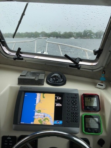
just outside the inlet for me or once I can't see the shore.
L😊L
L😊L
CommodoreOriginal Crew16,165 postsSince 2018
Sign in to reply to this thread.