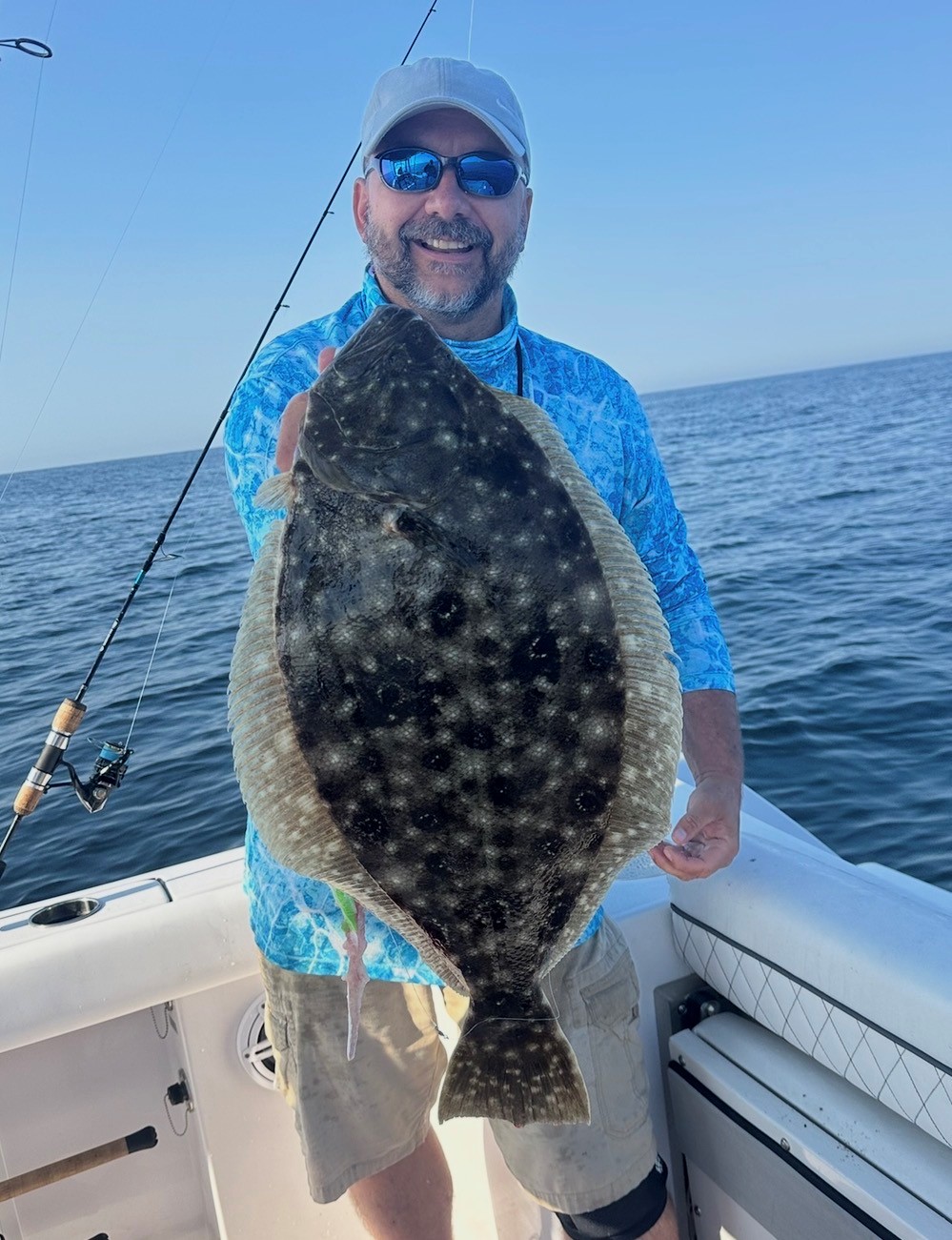
Taking shelter.
Weather


I hear it approaching.............................
[HEADING=2]Severe Thunderstorm Warning[/HEADING]
Severe Thunderstorm Warning
VAC001-152345-
/O.NEW.KAKQ.SV.W.0047.240415T2256Z-240415T2345Z/
BULLETIN - IMMEDIATE BROADCAST REQUESTED
Severe Thunderstorm Warning
National Weather Service Wakefield VA
656 PM EDT Mon Apr 15 2024
The National Weather Service in Wakefield has issued a
* Severe Thunderstorm Warning for...
Southern Accomack County in southeastern Virginia...
* Until 745 PM EDT.
At 656 PM EDT, a severe thunderstorm was located 7 miles west of*
Onancock, or 13 miles north of Exmore, moving southeast at 35 mph.
HAZARD...60 mph wind gusts and penny size hail.
SOURCE...Radar indicated.
IMPACT...Expect damage to trees and powerlines.
* This severe thunderstorm will be near...
Onancock around 700 PM EDT.
Onley around 705 PM EDT.
Other locations impacted by this severe thunderstorm include
Locustville, Harborton, Melfa, Pungoteague, Painter, Tasley, Keller,
Wachapreague, Accomac, and Quinby.
PRECAUTIONARY/PREPAREDNESS ACTIONS...
For your protection move to an interior room on the lowest floor of a
building.
Please report severe weather by calling 757-899-2415, posting to the
NWS Wakefield Facebook page, or using Twitter @NWSWAKEFIELDVA.
&&
LAT...LON 3756 7554 3750 7560 3765 7595 3774 7588
3775 7595 3783 7591 3772 7549
TIME...MOT...LOC 2256Z 293DEG 30KT 3773 7588
HAIL THREAT...RADAR INDICATED
MAX HAIL SIZE...0.75 IN
WIND THREAT...RADAR INDICATED
MAX WIND GUST...60 MPH
[HR][/HR]
[HEADING=2][/HEADING]
"Well, it's alright.
.............even if you're old and gray."
"Well, it's alright.
............you still got something to say."
.............even if you're old and gray."
"Well, it's alright.
............you still got something to say."
AdmiralOriginal Crew20,900 postsSince 2018
I hear it approching.............................
[HEADING=2]Severe Thunderstorm Warning[/HEADING]
Severe Thunderstorm Warning
VAC001-152345-
/O.NEW.KAKQ.SV.W.0047.240415T2256Z-240415T2345Z/
BULLETIN - IMMEDIATE BROADCAST REQUESTED
Severe Thunderstorm Warning
National Weather Service Wakefield VA
656 PM EDT Mon Apr 15 2024
The National Weather Service in Wakefield has issued a
* Severe Thunderstorm Warning for...
Southern Accomack County in southeastern Virginia...
* Until 745 PM EDT.
* At 656 PM EDT, a severe thunderstorm was located 7 miles west of
Onancock, or 13 miles north of Exmore, moving southeast at 35 mph.
HAZARD...60 mph wind gusts and penny size hail.
SOURCE...Radar indicated.
IMPACT...Expect damage to trees and powerlines.
* This severe thunderstorm will be near...
Onancock around 700 PM EDT.
Onley around 705 PM EDT.
Other locations impacted by this severe thunderstorm include
Locustville, Harborton, Melfa, Pungoteague, Painter, Tasley, Keller,
Wachapreague, Accomac, and Quinby.
PRECAUTIONARY/PREPAREDNESS ACTIONS...
For your protection move to an interior room on the lowest floor of a
building.
Please report severe weather by calling 757-899-2415, posting to the
NWS Wakefield Facebook page, or using Twitter @NWSWAKEFIELDVA.
&&
LAT...LON 3756 7554 3750 7560 3765 7595 3774 7588
3775 7595 3783 7591 3772 7549
TIME...MOT...LOC 2256Z 293DEG 30KT 3773 7588
HAIL THREAT...RADAR INDICATED
MAX HAIL SIZE...0.75 IN
WIND THREAT...RADAR INDICATED
MAX WIND GUST...60 MPH
[HR][/HR]
[HEADING=2][/HEADING]
That can’t be good be safe
M.H.
AdmiralOriginal Crew25,799 postsSince 2018

🌴🌴🌴73 and sunny,,,,today all day sun,, high is 82 and the low will be 68*,,,,,,,,,,,,,,,last few days have been great with the weather 8-),,,,,,,,,,,,,,,,,,,,,,,,[COLOR=rgb(26, 188, 156)] ><)))):>
<)))):>🇮🇱[/COLOR]
EAT FISH LIVE LONGER >
AdmiralOriginal Crew25,823 postsSince 2018

56 going up to 58 low 47 rain this afternoon evening and overnight. Looking at a quarter to a half inch of rain
CaptainOriginal Crew4,960 postsSince 2019
46 going up to 48 low 44. Rain and drizzle all day
CaptainOriginal Crew4,960 postsSince 2019
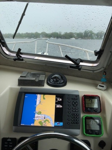
Cold, wearing a hoodie.
Live and Let Fish
Good things come to those who bait.
Good things come to those who bait.
CommodoreOriginal Crew16,184 postsSince 2018
Sign in to reply to this thread.
Thread
Weather