Heavy rain in queens
Weather

36 wind chill 27 high 38 low 28 highest wind Gust yesterday was shinnicock canal 58 mph. By me 46 mph. Montauk had The highest rain total 4.23. 1.09 by me rainfall.
CaptainOriginal Crew4,960 postsSince 2019
It's Very early but early model runs have a huge snow storm on Christmas eve. Will update as we get closer
CaptainOriginal Crew4,960 postsSince 2019

It's Very early but early model runs have a huge snow storm on Christmas eve. Will update as we get closer
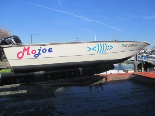
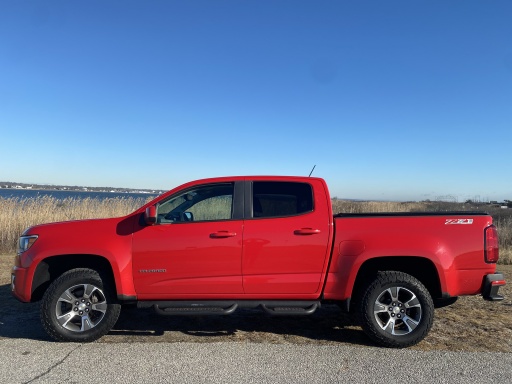
bassmaster maybe before🎅☃️🎄,,,,,,,,,,chevyyyyyyyyyyy,,,,,,,,,:),,,,,,,,,,,,,,,,,,,,,,[COLOR=rgb(26, 188, 156)] ><)))):>
<)))):>[/COLOR]
EAT FISH LIVE LONGER >
AdmiralOriginal Crew25,823 postsSince 2018
Tonight’s the night
[URL unfurl="true"]https://www.amsmeteors.org/meteor-showers/meteor-shower-calendar/#Geminids[/URL]
M.H.
AdmiralOriginal Crew25,799 postsSince 2018
Tonight’s the night
[URL unfurl="true"]https://www.amsmeteors.org/meteor-showers/meteor-shower-calendar/#Geminids[/URL]
What time
CaptainOriginal Crew4,960 postsSince 2019
28*
Live and Let Fish
Good things come to those who bait.
Good things come to those who bait.
CommodoreOriginal Crew16,184 postsSince 2018
I saw Rayno mention this next weekend for a significant snow event. Is Al still in here. Next Saturday
CaptainOriginal Crew4,960 postsSince 2019
Highest Barometric Pressures I've ever seen, that Canadian High is overhead. 30.75 in/hg on my aneroid, 30.5 on my Mercury Banjo and neighbor 30.835 at neighbor's weather station...
Shall I go to heaven or a-fishing? - H. D. Thoreau
Veni. Vidi. Cepi. - with apologies to Gaius Julius Caesar
Veni. Vidi. Cepi. - with apologies to Gaius Julius Caesar
AdmiralOriginal Crew21,717 postsSince 2018
50 going up to 56 tomorrow afternoon dense fog and heavy rain tonight
CaptainOriginal Crew4,960 postsSince 2019
Looking at snow ❄️ Friday night into Saturday will have totals when they become available
CaptainOriginal Crew4,960 postsSince 2019
55 going down to 40 tonight.
CaptainOriginal Crew4,960 postsSince 2019
Bring the SNOW
Live and Let Fish
Good things come to those who bait.
Good things come to those who bait.
CommodoreOriginal Crew16,184 postsSince 2018
Looking at a long range forecast brutally cold temps this weekend into early next week Lows in the teens and single digits and highs in the 20s then a nice warmup the end of next week.
CaptainOriginal Crew4,960 postsSince 2019

The morning run of the nam model is a Long Island special for plowable snow Friday into early Saturday morning. Just how far west the storm comes will determine who gets snow. Will be a close call between lots of snow and no snow. Rain is not the issue with this storm. This is also the 6z nam so take that for what it's worth, however the nam usually does well with this type of storm setup
General cany, Watching always Watching
CornField
CornField
AdmiralOriginal Crew41,122 postsSince 2018
Sign in to reply to this thread.
Thread
Weather