nice Autumn 🍂 Day… cell…
.
.
Weather


Chance for The northern lights tonight
CaptainOriginal Crew4,960 postsSince 2019
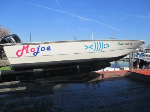

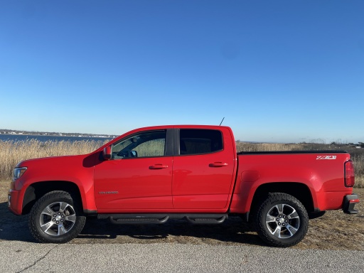

colors aren’t as bright as it could be,, weatherman says because of drought conditions and milder than usual…
those deer were 20 feet from us , fearless… ( campgrounds ) cell…
.
.
... sand under my bare feet is better than subway steps with steel toe boots on... cellfish...
.
... sand under my bare feet is better than subway steps with steel toe boots on... cellfish...
.
CommodoreOriginal Crew18,289 postsSince 2019
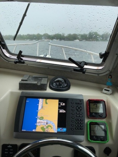
for walk in da park too… mrs & mr cell…
.
That’s a good day,
Great adventure for good people…
Thanks for sharing.
Live and Let Fish
Good things come to those who bait.
Good things come to those who bait.
CommodoreOriginal Crew16,184 postsSince 2018


Potent cold front going negatively tilted with a line of heavy showers and some thunderstorms with wind gusts of 30 to 45 mph moving through the northeast Sunday night into Monday. Here's the max radar, wind gusts/direction at 7 AM Monday, and future radar maps for Monday at 6 AM, 8 AM, and 11 AM.
General cany, Watching always Watching
CornField
CornField
AdmiralOriginal Crew41,123 postsSince 2018
Getting within range of the HRRR model now as this is the end of the new run at 8 AM Monday! The wind will be ripping on Long Island at that time with gusts from the SSE ahead of the front at 30 to 45 mph. It's going to be a wild morning commute!
General cany, Watching always Watching
CornField
CornField
AdmiralOriginal Crew41,123 postsSince 2018
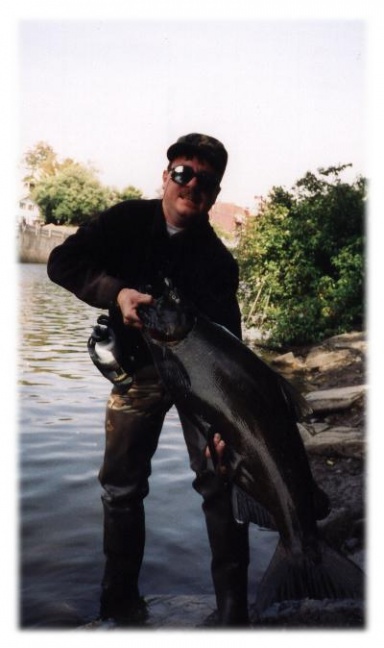
68 high 72 low 59 rain likely tonight with a slight chance of severe weather
CaptainOriginal Crew4,960 postsSince 2019
It's going to be wild when this moves through! Downpours with wind gusts possibly in the 35 to 50 mph range mixing down from the strong low-level jet, especially for the south show of Long Island with the SE/SSE wind. This map is for 9 AM Monday from the new HRRR run.
General cany, Watching always Watching
CornField
CornField
AdmiralOriginal Crew41,123 postsSince 2018
Sign in to reply to this thread.
Thread
Weather