Possible mix at coast still
Weather

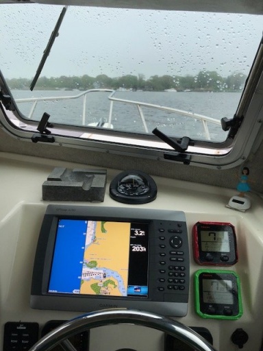
I like it.
Live and Let Fish
Good things come to those who bait.
Good things come to those who bait.
CommodoreOriginal Crew16,183 postsSince 2018
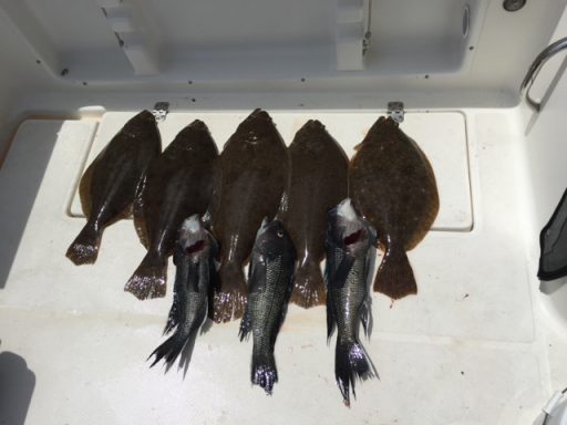
Get those skis ready and ski on over and have a drink
Back in the day, meaning the 80’s 🤣, when we were young stupid(er) and stronger, me and some friends ski’d from Speonk to CM 👍👍👍
Now I’d have to start out from my parents or my brothers house in CM to be able to make it to you LOL
At least I'm enjoyin' the ride.....
CommodoreOriginal Crew7,065 postsSince 2018


WINTER STORM WATCH POSTED. Many aspects to storm. Dangerous Cold and slick roads from 6am to noon Sunday. Moderate to heavy snow 1 to 2 inches per hour noon to 7pm Sunday. Some mixing Sunday evening. Gusty winds overnight Sunday into Monday with snow. Near blizzard conditions possible. Snow continues into Monday, Travel impacts into Tuesday morning with FRIGID low temperatures between 8 and 13 degrees.
General cany, Watching always Watching
CornField
CornField
AdmiralOriginal Crew41,113 postsSince 2018


35 wind chill 24 hi 36 low 12. Enjoy today last day above freezing this month. Looking at another storm this Thursday will keep an eye on this.
CaptainOriginal Crew4,960 postsSince 2019
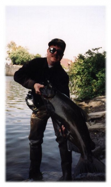
It's official
Winter Storm Warning
Issued: 1:12 PM Jan. 23, 2026 – National Weather Service
...WINTER STORM WARNING IN EFFECT FROM 3 AM SUNDAY TO 6 PM EST
MONDAY...
* WHAT...Heavy snow expected. Total snow accumulations between 10
and 14 inches. A changeover to a wintry mix is possible Sunday
evening and could lead to additional sleet accumulation and a
glaze of ice before a change back over to light snow later Sunday
night. Isolated wind gusts of 35 to 40 mph are possible for
eastern long Island.
* WHERE...Portions of northeast New Jersey and southeast New York.
* WHEN...From 3 AM Sunday to 6 PM EST Monday.
* IMPACTS...Roads, and especially bridges and overpasses, will
likely become slick and hazardous. Visibilities may drop below 1/4
mile due to falling and blowing snow.
A lawyer with his briefcase can steal more than a hundred men with guns- Mario Puzo
CommodoreOriginal Crew9,876 postsSince 2018
Salmon River getting hammered
[URL unfurl="true"]https://www.earthcam.com/usa/newyork/pulaski/?cam=pulaski_salmon2[/URL]
A lawyer with his briefcase can steal more than a hundred men with guns- Mario Puzo
CommodoreOriginal Crew9,876 postsSince 2018
Sign in to reply to this thread.
Thread
Weather