The entire eastern seaboard will have rough surf rip currents and beach erosion from Lee regardless if it makes landfall or not. It will slow down or stall so these effects could last for several days.
Hurricane Awareness



The entire eastern seaboard will have rough surf rip currents and beach erosion from Lee regardless if it makes landfall or not. It will slow down or stall so these effects could last for several days.
That happens with with every storm thats out sea from us its nothing new
General cany, Watching always Watching
CornField
CornField
AdmiralOriginal Crew41,107 postsSince 2018
LEE NOW A CATEGORY 4 HURRICANE RIP CURRENTS AND HAZARDOUS SURF WILL SPREAD ACROSS THE NORTHERN CARIBBEAN FRIDAY AND BEGIN AFFECTING THE MAINLAND U.S. BY SUNDAY.
Last update for tonight.
CaptainOriginal Crew4,960 postsSince 2019
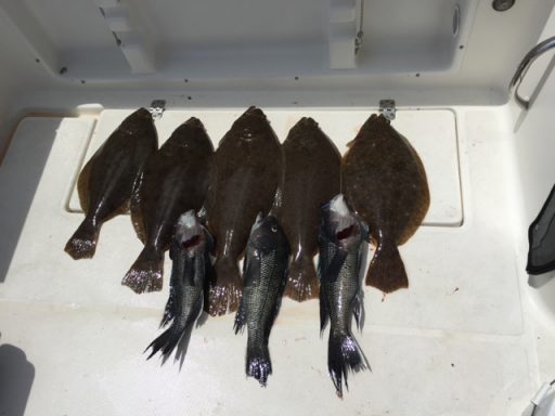
Last update for tonight.
Good
Lets see what tomorrow brings and if you get any updated info from Cantore or Rayno to pass on to us (y)
I don't have any direct connection to either of them but checked some updated spaghetti models and it looks like any shift in those runs towards the west will determine how concerned we need to get
At least I'm enjoyin' the ride.....
CommodoreOriginal Crew7,065 postsSince 2018

165 mph. Double rapid intensification
POWERFUL CATEGORY 5 LEE EXPECTED TO MAINTAIN ITS INTENSITY.DANGEROUS BEACH CONDITIONS EXPECTED TO DEVELOP AROUND THE WESTERN ATLANTIC THROUGH EARLY NEXT WEEK.
All eyes on Lee as its completed a >DOUBLE rapid intensification cycle going from 80 mph at 11pm yesterday to 160mph at the 11pm tonight. RI usually is 35mph in 24 hours... That's 80mph in 24hours. Incredible. This is our 8th Cat 5 since 2016. According to philklotzbach only these hurricanes have intensified >=80mph in 24 hours in the modern satellite era:
Wilma (2005), Felix (2007), Ike (2008), Matthew (2016), Maria (2017), Eta (2020)
CaptainOriginal Crew4,960 postsSince 2019

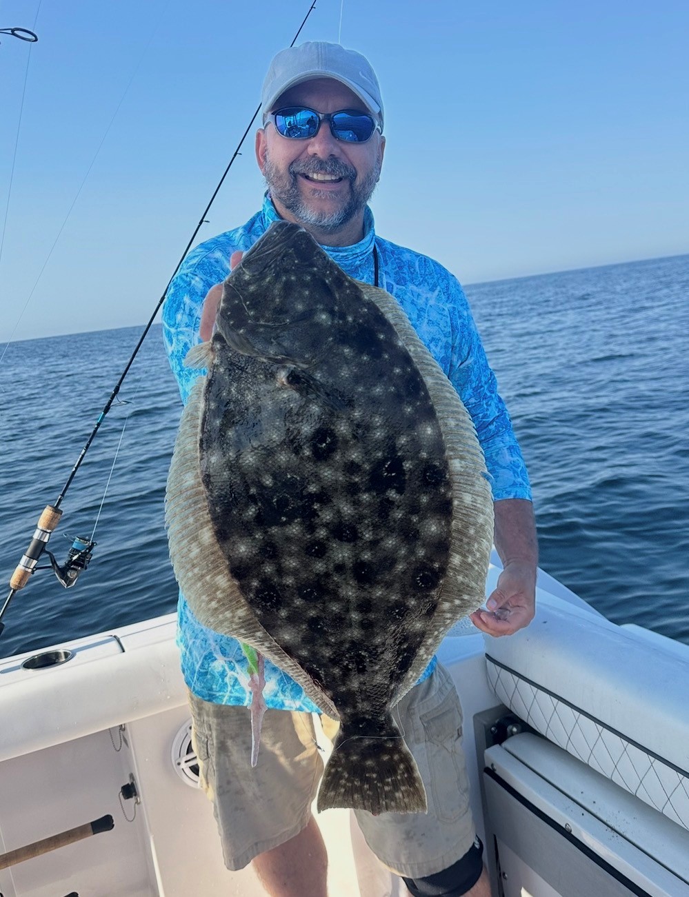
Yeah good idea so we can all drown in them when the Island gets flooded
Yeah WTF Mr. Mojo Risin'???
sorry guys i been drinking early that morning ? :p:LOL:;),,,,,,,,,,,,,,,,,,,,,,,,,[COLOR=rgb(26, 188, 156)] ><)))):>
<))):>[/COLOR]
EAT FISH LIVE LONGER >
AdmiralOriginal Crew25,821 postsSince 2018
165 mph. Double rapid intensification
POWERFUL CATEGORY 5 LEE EXPECTED TO MAINTAIN ITS INTENSITY.DANGEROUS BEACH CONDITIONS EXPECTED TO DEVELOP AROUND THE WESTERN ATLANTIC THROUGH EARLY NEXT WEEK.
All eyes on Lee as its completed a >DOUBLE rapid intensification cycle going from 80 mph at 11pm yesterday to 160mph at the 11pm tonight. RI usually is 35mph in 24 hours... That's 80mph in 24hours. Incredible. This is our 8th Cat 5 since 2016. According to philklotzbach only these hurricanes have intensified >=80mph in 24 hours in the modern satellite era:
Wilma (2005), Felix (2007), Ike (2008), Matthew (2016), Maria (2017), Eta (202,,,,,,,,,,,,,0)
bassmaster it is a big azz hurricane,,,,,,,,,,,,,,,,,, did you see the eye ??️,,,,,,,,,,,,,,,,,[COLOR=rgb(184, 49, 47)] ><)))):<
<))):<[/COLOR]
EAT FISH LIVE LONGER >
AdmiralOriginal Crew25,821 postsSince 2018

I will do the update at 11pm tonight. What I will be looking at is if this slows down. Hurricane Lee swells will Start Tuesday night.
CaptainOriginal Crew4,960 postsSince 2019
Sign in to reply to this thread.
Thread
Hurricane Awareness